2016
SK2754 : Track into Middle Peak Quarry
taken 8 years ago, near to Wirksworth, Derbyshire, England
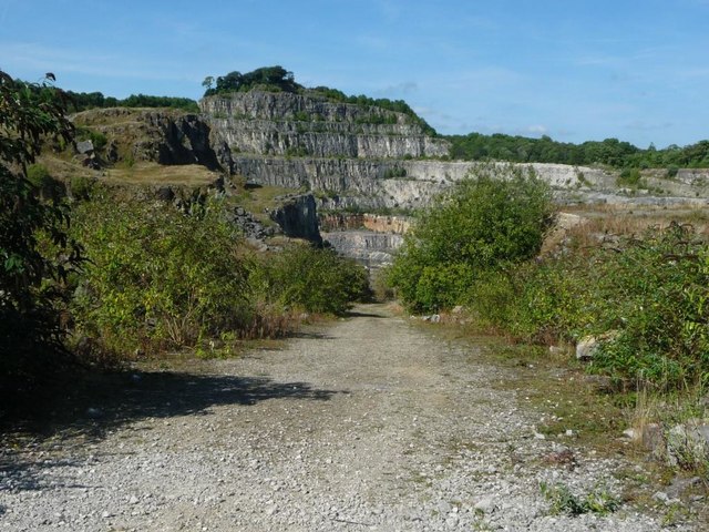
Track into Middle Peak Quarry
Running north from the public footpath. Taken through a locked security gate. The far quarry face is 420 metres high.
 Map © Crown Copyright")
TIP: Click the map for more Large scale mapping
- Grid Square
- SK2754, 45 images (more nearby 🔍)
- Photographer
- Christine Johnstone (more nearby)
- Date Taken
- Tuesday, 30 August, 2016 (more nearby)
- Submitted
- Saturday, 10 September, 2016
- Subject Location
-
OSGB36:
 SK 2797 5441 [10m precision]
WGS84: 53:5.1708N 1:35.0313W - Camera Location
-
OSGB36: SK 2797 5438
- View Direction
- NORTH (about 0 degrees)