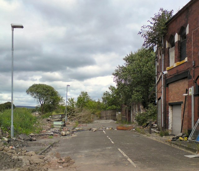
SJ9295 : Amelia Street
taken 8 years ago, near to Denton, Tameside, England
According to the council website Link
"Tameside Council has been successful in securing £1.67 million from the Greater Manchester Growth Deal Round 2, which will deliver a new relief road linking the A6017 Ashton Road at the M67 Junction 1 slip road to the A57 Hyde Road in Denton. The proposal seeks to relieve congestion to reduce traffic delays, improve air quality and road safety for the travelling public and the population of Denton. Alongside these improvements the road will also facilitate the comprehensive redevelopment of the former Oldham Batteries Site.
The road runs east from a traffic signal controlled junction on Ashton Road along the southern boundary of the M67 onto Edward Street. It then runs south to the A57 Hyde Road, where a new traffic signal controlled junction will be provided.
The works will start in February 2016 with an anticipated completion of the road in December 2016. The works will be undertaken over four phases as follows:
Phase 1 Howard Lane February to April 2016
Phase 2 Edward Street May to June 2016
Phase 3 Hyde Road/Edward St Junction July to September 2016
Phase 4 Ashton Road/Howard Lane October to December 2016"
On completion the road was named Lance Corporal Andrew Breeze Way in honour of the soldier who died in Afghanistan in in 2010.
 Map © Crown Copyright")
- Grid Square
- SJ9295, 847 images (more nearby 🔍)
- Photographer
- Gerald England (more nearby)
- Date Taken
- Saturday, 13 August, 2016 (more nearby)
- Submitted
- Sunday, 11 September, 2016
- Subject Location
-
OSGB36:
 SJ 925 956 [100m precision]
WGS84: 53:27.4582N 2:6.8470W - Camera Location
-
OSGB36: SJ 924 956
- View Direction
- EAST (about 90 degrees)