2016
NB2130 : The road to Linsiadar
taken 8 years ago, near to Linshader, Isle of Lewis And Harris, Na h-Eileanan an Iar, Scotland
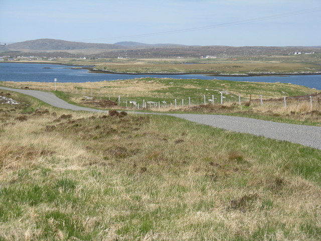
The road to Linsiadar
Looking northeast from by Loch na Muilne to Loch Ceann Hulabhig.
 Map © Crown Copyright")
TIP: Click the map for more Large scale mapping
- Grid Square
- NB2130, 6 images (more nearby 🔍)
- Photographer
- M J Richardson (more nearby)
- Date Taken
- Saturday, 28 May, 2016 (more nearby)
- Submitted
- Monday, 12 September, 2016
- Subject Location
-
OSGB36:
 NB 211 309 [100m precision]
WGS84: 58:10.7601N 6:44.7136W - Camera Location
-
OSGB36: NB 211 309
- View Direction
- Northeast (about 45 degrees)