2016
SJ6142 : Lodmore Lane, Burleydam
taken 8 years ago, near to Royal's Green, Cheshire East, England
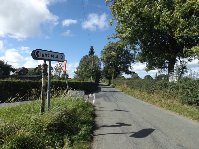
Lodmore Lane, Burleydam
Lodmore Lane turns Right and continues to Ightfield. The road in the immediate foreground has no name until after its junction, about a kilometre away, with Royals Wood Lane.
 Map © Crown Copyright")
TIP: Click the map for more Large scale mapping
- Grid Square
- SJ6142, 6 images (more nearby 🔍)
- Photographer
- Garry Lavender-Rimmer (more nearby)
- Date Taken
- Tuesday, 13 September, 2016 (more nearby)
- Submitted
- Tuesday, 13 September, 2016
- Subject Location
-
OSGB36:
 SJ 6166 4210 [10m precision]
WGS84: 52:58.4922N 2:34.3440W - Camera Location
-
OSGB36: SJ 6169 4209
- View Direction
- West-northwest (about 292 degrees)