2016
SS7449 : The track to Wind Hill
taken 8 years ago, near to Countisbury, Devon, England
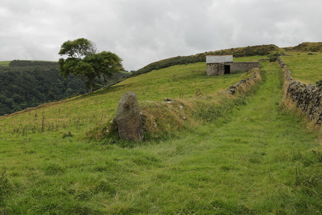
The track to Wind Hill
Visible on the skyline the ancient defensive earthworks.
 Map © Crown Copyright")
TIP: Click the map for more Large scale mapping
- Grid Square
- SS7449, 169 images (more nearby 🔍)
- Photographer
- Peter Turner (more nearby)
- Date Taken
- Tuesday, 6 September, 2016 (more nearby)
- Submitted
- Monday, 19 September, 2016
- Subject Location
-
OSGB36:
 SS 7410 4941 [10m precision]
WGS84: 51:13.7970N 3:48.2727W - Camera Location
-
OSGB36: SS 7422 4950
- View Direction
- Southwest (about 225 degrees)