2012
SO4568 : Towards the Ludlow Anticlyne
taken 12 years ago, near to Leinthall Earls, County of Herefordshire, England
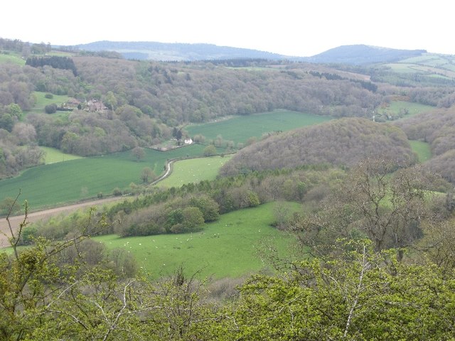
Towards the Ludlow Anticlyne
The great limestone ridge which includes Wenlock Edge to the northeast takes a kink at Ludlow. It retains its double crest though with a characteristic hanging valley between the two ridges (foreground, Leinthall Earls). The background contains the two high Bringewood summits- the Chase on the left and High Vinnalls on the right - these flank the apex of the bend in the ridge.
A long distance path along this ridge would make an excellent companion piece to the North Downs Way and South Downs Way, only the Silurian limestones produce very heavy muddy paths.
A long distance path along this ridge would make an excellent companion piece to the North Downs Way and South Downs Way, only the Silurian limestones produce very heavy muddy paths.
 Map © Crown Copyright")
TIP: Click the map for more Large scale mapping
- Grid Square
- SO4568, 15 images (more nearby 🔍)
- Photographer
- Richard Webb (more nearby)
- Date Taken
- Saturday, 5 May, 2012 (more nearby)
- Submitted
- Thursday, 29 September, 2016
- Subject Location
-
OSGB36:
 SO 45 68 [1000m precision]
WGS84: 52:18.7135N 2:48.0509W - Camera Location
-
OSGB36: SO 441 668
- View Direction
- Northeast (about 45 degrees)