2016

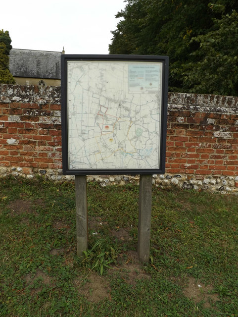
TM1192 : Carleton Rode Village Map

taken 8 years ago, near to Carleton Rode, Norfolk, England

Carleton Rode Village Map
Off Church Road

Creative Commons Licence [Some Rights Reserved]   © Copyright Geographer and licensed for reuse under this Creative Commons Licence.
Geographical Context: Village, Rural settlement Primary Subject: Sign Off: Church Road At: Carleton Rode other tags: Carleton Rode Village Map Village Map Map Click a tag, to view other nearby images.
This photo is linked from: Automatic Clusters: · Village [19] · Carleton Rode Village [8] · Carleton Rode Village Map [2] Title Clusters: · Carleton Rode Village Map [2] ·
1:50,000 Modern Day Landranger(TM) Map © Crown Copyright
+
1:50,000 Modern Day Landranger(TM) Map © Crown Copyright
TIP: Click the map for more Large scale mapping
Grid Square
TM1192, 102 images   (more nearby 🔍)
Photographer
Geographer   (more nearby)
Date Taken
Tuesday, 27 September, 2016   (more nearby)
Submitted
Friday, 30 September, 2016
Subject Location
OSGB36: geotagged! TM 11499 92455 [1m precision]
WGS84: 52:29.3394N 1:6.8240E
Camera Location
OSGB36: geotagged! TM 11499 92455
View Direction
Northeast (about 45 degrees)
Clickable map
+
NW N NE
W Go E
SW S SE
Image Type (about): close look 
This page has been viewed about 22 times
You are not logged in login | register