2016
SE6812 : Princess Royal footbridge, Thorne, closed to boaters
taken 8 years ago, near to Thorne, Doncaster, England
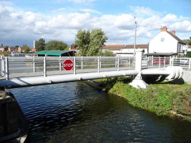
Princess Royal footbridge, Thorne, closed to boaters
Swingbridge opened in 2005, when the road traffic took to a flyover.
 Map © Crown Copyright")
TIP: Click the map for more Large scale mapping
- Grid Square
- SE6812, 49 images (more nearby 🔍)
- Photographer
- Christine Johnstone (more nearby)
- Date Taken
- Friday, 30 September, 2016 (more nearby)
- Submitted
- Wednesday, 5 October, 2016
- Subject Location
-
OSGB36:
 SE 6862 1291 [10m precision]
WGS84: 53:36.4957N 0:57.8615W - Camera Location
-
OSGB36: SE 6862 1290
- View Direction
- North-northwest (about 337 degrees)