2016
TL4152 : Haslingfield: on Porkers Lane
taken 8 years ago, near to Haslingfield, Cambridgeshire, England
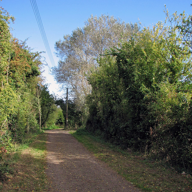
Haslingfield: on Porkers Lane
Near the Haslingfield end of the bridle path to Hauxton.
 Map © Crown Copyright")
TIP: Click the map for more Large scale mapping
- Grid Square
- TL4152, 119 images (more nearby 🔍)
- Photographer
- John Sutton (more nearby)
- Date Taken
- Thursday, 6 October, 2016 (more nearby)
- Submitted
- Thursday, 6 October, 2016
- Subject Location
-
OSGB36:
 TL 4113 5222 [10m precision]
WGS84: 52:9.0142N 0:3.6791E - Camera Location
-
OSGB36: TL 4111 5219
- View Direction
- North-northeast (about 22 degrees)