2016
SK3360 : Public footpath to Knabhall Lane
taken 8 years ago, near to Tansley, Derbyshire, England
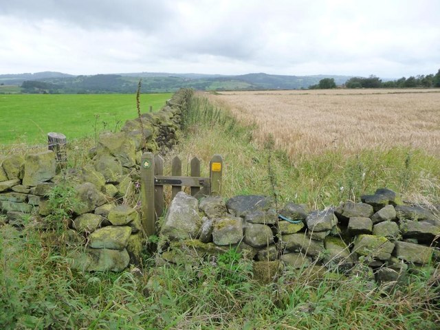
Public footpath to Knabhall Lane
Running west from an anonymous lane, along the south side of a barley field.
 Map © Crown Copyright")
TIP: Click the map for more Large scale mapping
- Grid Square
- SK3360, 27 images (more nearby 🔍)
- Photographer
- Christine Johnstone (more nearby)
- Date Taken
- Friday, 2 September, 2016 (more nearby)
- Submitted
- Thursday, 6 October, 2016
- Subject Location
-
OSGB36:
 SK 3396 6035 [10m precision]
WGS84: 53:8.3536N 1:29.6281W - Camera Location
-
OSGB36: SK 3398 6036
- View Direction
- West-southwest (about 247 degrees)