SN7787 : Maesnant
taken 8 years ago, near to Bryn y Beddau [other Features], Ceredigion, Great Britain
Quite a few months since I ventured up Plynlimon (Jan 2016) so felt it was time for me to return. A nice sunny early October day with occasional cloud but with high easterly wind and with treacherous gusts at the top.
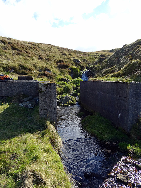
North Ceredigion is supplied with drinking water through the water works at Bont-goch SN6886, which are fed with raw water from the Llyn Llygad Rheidol Link and Llyn Craig-y-pistyll Link reservoirs. The supply is supplemented by stream abstractions from the Maesnant Link and the Nant y Moch Link as well as two groundwater bore holes near Lovesgrove SN6281.
Llyn Llygad Rheidol is a natural lake in a glacial hollow on the north face of Pumlumon Fawr which has been dammed to increase capacity. Aberystwyth Town Council, then responsible for water supply to the town, built a 16-mile pipeline to transport untreated water from Llyn Llygad Rheidol directly to Aberystwyth in the 1870s.
The separate Aberystwyth Rural District Council, serving the villages of north Ceredigion, took a water supply from the Afon Leri, regulated by their dam at Llyn Craig-y-pistyll. They also built the treatment works at Bont-goch in 1939.
The two local authorities had begun to make joint plans when the responsibility for the water supply was transferred to the new Cardiganshire Water Board in 1962. In 1967, the water board built a new pipeline connecting the two reservoirs, siphoned around the base of the Nant-y-moch hydroelectric reservoir, which had been built between 1957 and 1961. This new pipeline replaced the old direct one to Aberystwyth to allow processing of all drinking water at Bont-goch. Link
The water from the two small reservoirs is generally sufficient to supply the needs of north Ceredigion. Dŵr Cymru, the publicly owned water company now in charge of water supply to the area, has a drought plan which establishes that the supply would be topped up by transfers from Nant-y-moch directly into the pipeline linking the two drinking water reservoirs using a temporary installation during a severe drought Link. This has not been necessary to date.
 Map © Crown Copyright")
- Grid Square
- SN7787, 122 images (more nearby 🔍)
- Photographer
- John Lucas (more nearby)
- Date Taken
- Thursday, 6 October, 2016 (more nearby)
- Submitted
- Saturday, 8 October, 2016
- Subject Location
-
OSGB36:
 SN 7783 8759 [10m precision]
WGS84: 52:28.3518N 3:48.0026W - Camera Location
-
OSGB36: SN 77815 87617
- View Direction
- Southeast (about 135 degrees)