2016
SE1214 : Former rail bridge in Beaumont Park
taken 8 years ago, near to Armitage Bridge, Kirklees, England
This is 1 of 2 images, with title Former rail bridge in Beaumont Park in this square
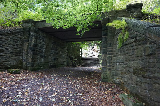
Former rail bridge in Beaumont Park
 Map © Crown Copyright")
TIP: Click the map for more Large scale mapping
- Grid Square
- SE1214, 152 images (more nearby 🔍)
- Photographer
- Ian S (more nearby)
- Date Taken
- Wednesday, 5 October, 2016 (more nearby)
- Submitted
- Sunday, 9 October, 2016
- Subject Location
-
OSGB36:
 SE 1293 1461 [10m precision]
WGS84: 53:37.6718N 1:48.3578W - Camera Location
-
OSGB36: SE 1296 1459
- View Direction
- Northwest (about 315 degrees)