2016
NC8314 : Baddanraffan Burn, near Gordonbush, East Sutherland
taken 8 years ago, 4 km NE of Balnacoil, Highland, Scotland
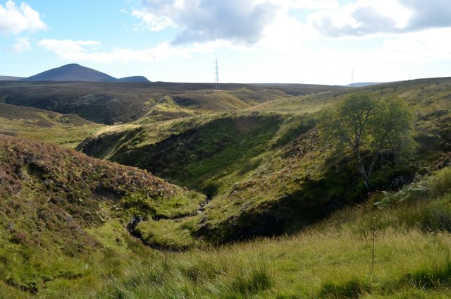
Baddanraffan Burn, near Gordonbush, East Sutherland
 Map © Crown Copyright")
TIP: Click the map for more Large scale mapping
- Grid Square
- NC8314 (more nearby 🔍)
- Photographer
- Andrew Tryon (more nearby)
- Date Taken
- Saturday, 1 October, 2016 (more nearby)
- Submitted
- Monday, 10 October, 2016
- Subject Location
-
OSGB36:
 NC 8374 1413 [10m precision]
WGS84: 58:6.0514N 3:58.4530W - Camera Location
-
OSGB36: NC 8371 1417
- View Direction
- Southeast (about 135 degrees)