2016
SE8349 : Yorkshire Wolds Way
taken 8 years ago, near to Nunburnholme, East Riding of Yorkshire, England
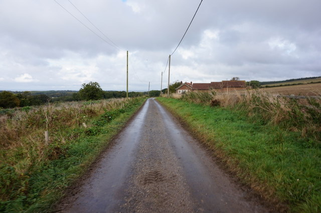
Yorkshire Wolds Way
Towards Kilnwick Percy Hill (road).
 Map © Crown Copyright")
TIP: Click the map for more Large scale mapping
- Grid Square
- SE8349, 43 images (more nearby 🔍)
- Photographer
- Ian S (more nearby)
- Date Taken
- Wednesday, 12 October, 2016 (more nearby)
- Submitted
- Tuesday, 18 October, 2016
- Subject Location
-
OSGB36:
 SE 8375 4939 [10m precision]
WGS84: 53:56.0321N 0:43.5512W - Camera Location
-
OSGB36: SE 8379 4934
- View Direction
- Northwest (about 315 degrees)