2016
SJ6471 : West bank, Weaver Navigation
taken 8 years ago, near to Kingsmead, Cheshire West And Chester, England
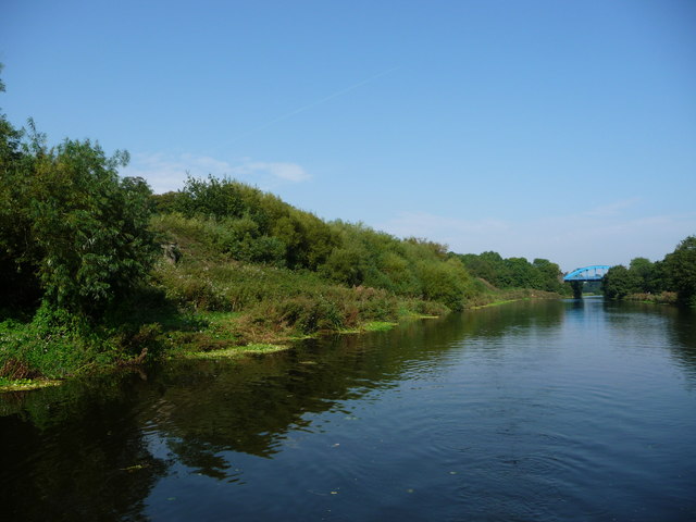
West bank, Weaver Navigation
Upstream [south-west] of Hartford Bridge.
 Map © Crown Copyright")
TIP: Click the map for more Large scale mapping
- Grid Square
- SJ6471, 27 images (more nearby 🔍)
- Photographer
- Christine Johnstone (more nearby)
- Date Taken
- Wednesday, 14 September, 2016 (more nearby)
- Submitted
- Wednesday, 19 October, 2016
- Subject Location
-
OSGB36:
 SJ 6453 7112 [10m precision]
WGS84: 53:14.1551N 2:31.9727W - Camera Location
-
OSGB36: SJ 6451 7107
- View Direction
- North-northeast (about 22 degrees)