2016
TM1785 : Primrose Hill sign
taken 8 years ago, near to Tivetshall st Mary, Norfolk, England
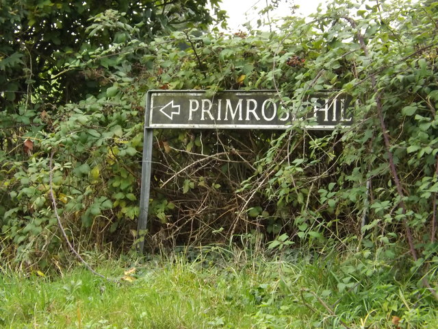
Primrose Hill sign
On Primrose Hill at the junction with Bond's Road & Ram Lane
 Map © Crown Copyright")
TIP: Click the map for more Large scale mapping
- Grid Square
- TM1785, 76 images (more nearby 🔍)
- Photographer
- Geographer (more nearby)
- Date Taken
- Saturday, 8 October, 2016 (more nearby)
- Submitted
- Friday, 21 October, 2016
- Subject Location
-
OSGB36:
 TM 17211 85561 [1m precision]
WGS84: 52:25.4921N 1:11.5945E - Camera Location
-
OSGB36: TM 17218 85565
- View Direction
- West-southwest (about 247 degrees)