2016
SZ1491 : Tuckton: footpath I14 meets Sunnylands Avenue
taken 7 years ago, near to Southbourne, Bournemouth, Christchurch & Poole, England
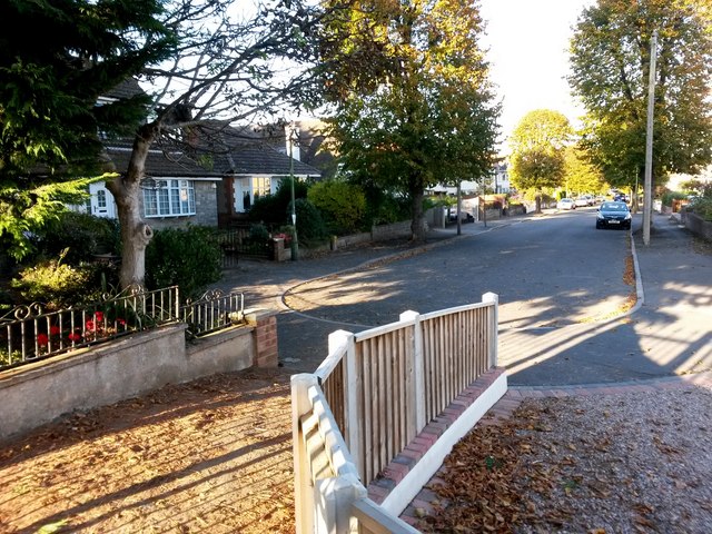
Tuckton: footpath I14 meets Sunnylands Avenue
This public footpath from Hengistbury Road arrives at the dead end of Sunnylands Avenue.
See SZ1491 : Tuckton: heading for Hengistbury Road on footpath I14 for the next view on the path behind us, with links to further photos along the route.
See also SZ1491 : Tuckton: footpath I14 from Sunnylands Avenue for the view towards us from ahead, with links to photos along further paths heading through to Southlands Avenue and Belle Vue Road.
Public rights of way in Bournemouth
A series of pictures documenting the public rights of way in the borough of Bournemouth. The pictures of the rights of way all have links to the next picture on the same route, in each direction.
The rights of way are all documented, in numerical order, in this article:
Link
 Map © Crown Copyright")
TIP: Click the map for more Large scale mapping
- Grid Square
- SZ1491, 283 images (more nearby 🔍)
- Photographer
- Chris Downer (more nearby)
- Date Taken
- Saturday, 22 October, 2016 (more nearby)
- Submitted
- Sunday, 23 October, 2016
- Subject Location
-
OSGB36:
 SZ 1481 9170 [10m precision]
WGS84: 50:43.4842N 1:47.4930W - Camera Location
-
OSGB36: SZ 1481 9169
- View Direction
- NORTH (about 0 degrees)