2016
TQ1667 : Barge Walk / Thames Path
taken 8 years ago, near to Long Ditton, Surrey, England
This is 1 of 3 images, with title Barge Walk / Thames Path in this square
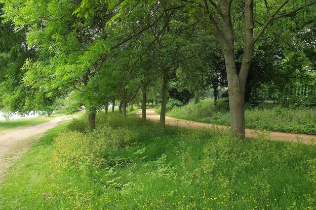
Barge Walk / Thames Path
Taken near the southern tip of a meander. The main path on the right carries NCN4.
 Map © Crown Copyright")
TIP: Click the map for more Large scale mapping
- Grid Square
- TQ1667, 224 images (more nearby 🔍)
- Photographer
- Derek Harper (more nearby)
- Date Taken
- Sunday, 29 May, 2016 (more nearby)
- Submitted
- Wednesday, 26 October, 2016
- Subject Location
-
OSGB36:
 TQ 1649 6722 [10m precision]
WGS84: 51:23.5243N 0:19.6269W - Camera Location
-
OSGB36: TQ 1652 6721
- View Direction
- West-northwest (about 292 degrees)