2016
SU1480 : The Pitchens, Wroughton
taken 7 years ago, near to Wroughton, Swindon, England
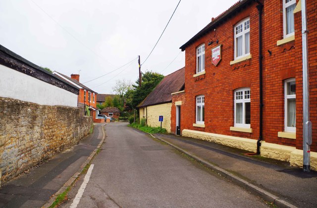
The Pitchens, Wroughton
This long road is one of the older mainly residential roads in Wroughton. It comes out eventually on Marlborough Road (B4005). However for many years through traffic has been prohibited but pedestrians can walk the length of the road. On the right is one wall of the Brown Jack public house. Interestingly on this wall is a sign with the logo of Ushers Trowbridge Brewery. This closed in 2000 after a chequered history in its final years. A similar sign is on the other side of the pub.
 Map © Crown Copyright")
TIP: Click the map for more Large scale mapping
- Grid Square
- SU1480, 128 images (more nearby 🔍)
- Photographer
- P L Chadwick (more nearby)
- Date Taken
- Saturday, 22 October, 2016 (more nearby)
- Submitted
- Thursday, 27 October, 2016
- Subject Location
-
OSGB36:
 SU 146 804 [100m precision]
WGS84: 51:31.3722N 1:47.4315W - Camera Location
-
OSGB36: SU 146 804
- View Direction
- East-southeast (about 112 degrees)