2016
SJ3125 : Montgomery Canal, near Maesbury Marsh
taken 8 years ago, near to Maesbury Marsh, Shropshire, England
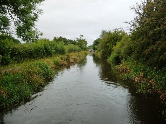
Montgomery Canal, near Maesbury Marsh
Looking westwards towards the village.
 Map © Crown Copyright")
TIP: Click the map for more Large scale mapping
- Grid Square
- SJ3125, 35 images (more nearby 🔍)
- Photographer
- Christine Johnstone (more nearby)
- Date Taken
- Monday, 19 September, 2016 (more nearby)
- Submitted
- Sunday, 6 November, 2016
- Subject Location
-
OSGB36:
 SJ 3166 2507 [10m precision]
WGS84: 52:49.1289N 3:0.9305W - Camera Location
-
OSGB36: SJ 3168 2507
- View Direction
- West-southwest (about 247 degrees)