2016
TM1532 : Looking across the Stour from Stutton Ness
taken 8 years ago, near to Wrabness, Essex, England
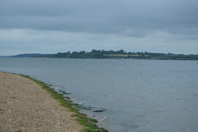
Looking across the Stour from Stutton Ness
The River Stour is in East Anglia. It is 47 miles long and forms most of the county boundary between Suffolk to the north, and Essex to the south. It rises in eastern Cambridgeshire, passes to the east of Haverhill, through Cavendish, Bures, Sudbury, Nayland, Stratford St Mary, Dedham and flows through the Dedham Vale Area of Outstanding Natural Beauty. It becomes tidal just before Manningtree in Essex and joins the North Sea at Harwich.
See other images of River Stour, Suffolk
See other images of River Stour, Suffolk
 Map © Crown Copyright")
TIP: Click the map for more Large scale mapping
- Grid Square
- TM1532, 14 images (more nearby 🔍)
- Photographer
- N Chadwick (more nearby)
- Date Taken
- Saturday, 18 June, 2016 (more nearby)
- Submitted
- Friday, 11 November, 2016
- Subject Location
-
OSGB36:
 TM 1545 3233 [10m precision]
WGS84: 51:56.8632N 1:8.0149E - Camera Location
-
OSGB36: TM 1517 3296
- View Direction
- South-southeast (about 157 degrees)