2016
SO8963 : The Salvation Army Church and Community Hall, Droitwich
taken 7 years ago, near to Droitwich Spa, Worcestershire, England
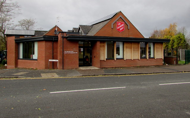
The Salvation Army Church and Community Hall, Droitwich
The Union Lane side of the building on the corner of Ombersley Way.
 Map © Crown Copyright")
TIP: Click the map for more Large scale mapping
- Grid Square
- SO8963, 642 images (more nearby 🔍)
- Photographer
- Jaggery (more nearby)
- Date Taken
- Wednesday, 16 November, 2016 (more nearby)
- Submitted
- Friday, 18 November, 2016
- Subject Location
-
OSGB36:
 SO 8935 6336 [10m precision]
WGS84: 52:16.0975N 2:9.4491W - Camera Location
-
OSGB36: SO 8937 6336
- View Direction
- WEST (about 270 degrees)