2016
O1834 : Dublin, Thomas Clarke Bridge
taken 8 years ago, near to Ringsend, Dublin, Ireland
Dublin, Thomas Clarke Bridge
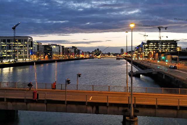
The Tom Clarke Bridge (Irish: Droichead Thomáis Uí Chléirigh), formerly known as the East-Link Toll Bridge. It was opened to vehicular traffic in October 1984 and has been owned and operated by Dublin City Council since the end of 2015. The bascule-type lifting bridge, which links North Wall to Ringsend, is the last bridge on the Liffey, which opens out into Dublin Port and then Dublin Bay. Most of Dublin's docklands lie to the east of the bridge, but it is raised on average three times per day to allow river traffic to pass.
The bridge was officially renamed the Thomas Clarke Bridge by President Michael D Higgins On 3 May 2016 to commemorate the Irish republican, Thomas Clarke on the anniversary of his execution in Kilmainham Gaol for being involved with the 1916 Easter Rising Link .
.
The bridge was officially renamed the Thomas Clarke Bridge by President Michael D Higgins On 3 May 2016 to commemorate the Irish republican, Thomas Clarke on the anniversary of his execution in Kilmainham Gaol for being involved with the 1916 Easter Rising Link
Loading map... (JavaScript required)
- Grid Square
- O1834, 168 images (more nearby 🔍)
- Photographer
- David Dixon (more nearby)
- Date Taken
- Tuesday, 12 July, 2016 (more nearby)
- Submitted
- Monday, 21 November, 2016
- Subject Location
-
Irish:
 O 181 343 [100m precision]
WGS84: 53:20.7587N 6:13.6456W - Camera Location
-
Irish: O 181 343
- View Direction
- WEST (about 270 degrees)