2016

SO0866 : A483 North of Fron

taken 8 years ago, near to Fron, Powys, Wales
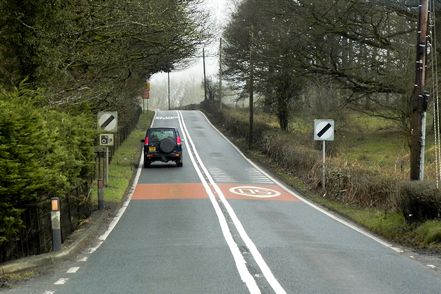
A483 North of Fron
A483 North of Fron
The A483 is a major north-south trunk road in Wales, running for 149 miles between Chester and Junction 42 of the M4 motorway just east of Swansea.
LinkExternal link SABRE
LinkExternal link Wikipedia


See other images of The A483

Creative Commons Licence [Some Rights Reserved]   © Copyright David Dixon and licensed for reuse under this Creative Commons Licence.
Geographical Context: Roads, Road transport Camera: Nikon P100 Road: A483 other tags: National Speed Limit Sign Double White Lines Click a tag, to view other nearby images.
This photo is linked from: Automatic Clusters: · A483 [5] · A483 North [3] ·
1:50,000 Modern Day Landranger(TM) Map © Crown Copyright
+
+
1:50,000 Modern Day Landranger(TM) Map © Crown Copyright
TIP: Click the map for more Large scale mapping
Grid Square
SO0866, 7 images   (more nearby 🔍)
Photographer
David Dixon   (more nearby)
Date Taken
Tuesday, 12 April, 2016   (more nearby)
Submitted
Wednesday, 23 November, 2016
Subject Location
OSGB36: geotagged! SO 088 660 [100m precision]
WGS84: 52:17.1164N 3:20.2509W
Camera Location
OSGB36: geotagged! SO 088 660
View Direction
NORTH (about 0 degrees)
Clickable map
+
NW N NE
W Go E
SW S SE
Image Type (about): geograph 
This page has been viewed about 20 times
You are not logged in login | register