2016
SE4810 : Flood Plain near South Elmsall
taken 7 years ago, near to South Elmsall, Wakefield, England
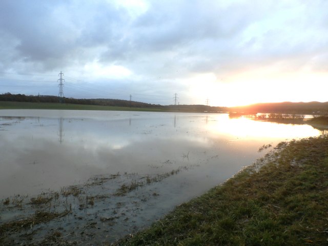
Flood Plain near South Elmsall
Whether by accident or design this area appears to be providing an effective catchment area for floodwater - in this instance following the deluges three days earlier on 21st November. The two footpaths crossing the plain were both submerged but sheer belligerence sent me across - only to end up ankle-deep in water just yards from the sewage works.
 Map © Crown Copyright")
TIP: Click the map for more Large scale mapping
- Grid Square
- SE4810, 31 images (more nearby 🔍)
- Photographer
- Jonathan Clitheroe (more nearby)
- Date Taken
- Wednesday, 23 November, 2016 (more nearby)
- Submitted
- Friday, 25 November, 2016
- Subject Location
-
OSGB36:
 SE 4806 1046 [10m precision]
WGS84: 53:35.3117N 1:16.5266W - Camera Location
-
OSGB36: SE 4818 1063
- View Direction
- Southwest (about 225 degrees)