2009
SD9889 : Benchmark on barn at Throstle Nest Farm
taken 15 years ago, near to Woodhall, North Yorkshire, England
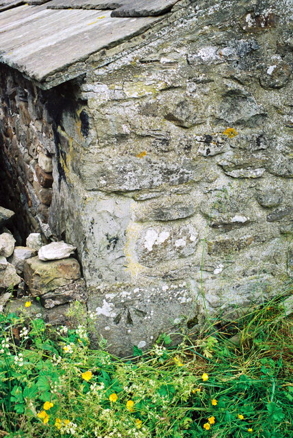
Benchmark on barn at Throstle Nest Farm
Ordnance Survey cut mark benchmark described on the Bench Mark Database at Link
 Map © Crown Copyright")
TIP: Click the map for more Large scale mapping
- Grid Square
- SD9889, 52 images (more nearby 🔍)
- Photographer
- Roger Templeman (more nearby)
- Date Taken
- Friday, 26 June, 2009 (more nearby)
- Submitted
- Wednesday, 30 November, 2016
- Subject Location
-
OSGB36:
 SD 9854 8915 [10m precision]
WGS84: 54:17.8777N 2:1.4361W - Camera Location
-
OSGB36: SD 9854 8915
- View Direction
- South-southwest (about 202 degrees)