2016
NH5950 : Outflow from the sluice on Mill Dam
taken 7 years ago, near to Newton, Highland, Scotland
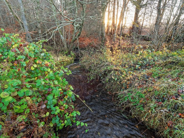
Outflow from the sluice on Mill Dam
This sluice is marked on the 1880 Ordnance Survey six-inch map.
 Map © Crown Copyright")
TIP: Click the map for more Large scale mapping
- Grid Square
- NH5950, 30 images (more nearby 🔍)
- Photographer
- valenta (more nearby)
- Date Taken
- Sunday, 27 November, 2016 (more nearby)
- Submitted
- Sunday, 4 December, 2016
- Subject Location
-
OSGB36:
 NH 5903 5029 [10m precision]
WGS84: 57:31.2453N 4:21.3247W - Camera Location
-
OSGB36: NH 5906 5035
- View Direction
- South-southwest (about 202 degrees)