2016
SD8644 : Path towards Barnoldswick
taken 7 years ago, near to Greystone, Lancashire, England
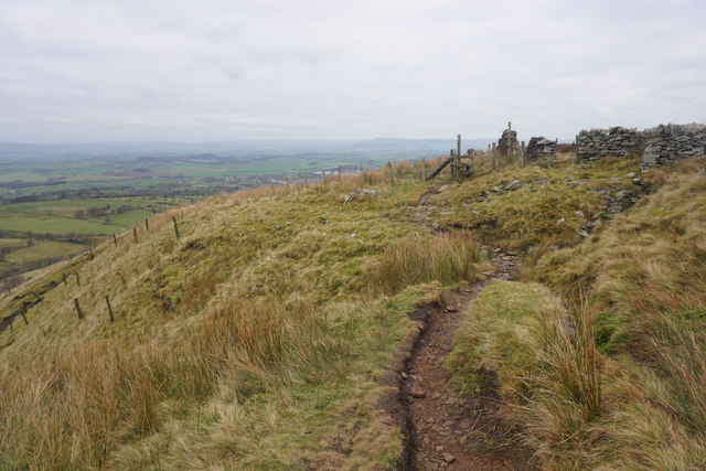
Path towards Barnoldswick
The path runs along the northern edge of Weets Hill. A bit of Barnoldswick can be seen on the plain below.
 Map © Crown Copyright")
TIP: Click the map for more Large scale mapping
- Grid Square
- SD8644, 24 images (more nearby 🔍)
- Photographer
- Bill Boaden (more nearby)
- Date Taken
- Saturday, 3 December, 2016 (more nearby)
- Submitted
- Tuesday, 6 December, 2016
- Subject Location
-
OSGB36:
 SD 8603 4497 [10m precision]
WGS84: 53:54.0423N 2:12.8457W - Camera Location
-
OSGB36: SD 8601 4495
- View Direction
- Northeast (about 45 degrees)