2016
SW8742 : Edge of field south of Tregenna
taken 8 years ago, near to Lamorran, Cornwall, England
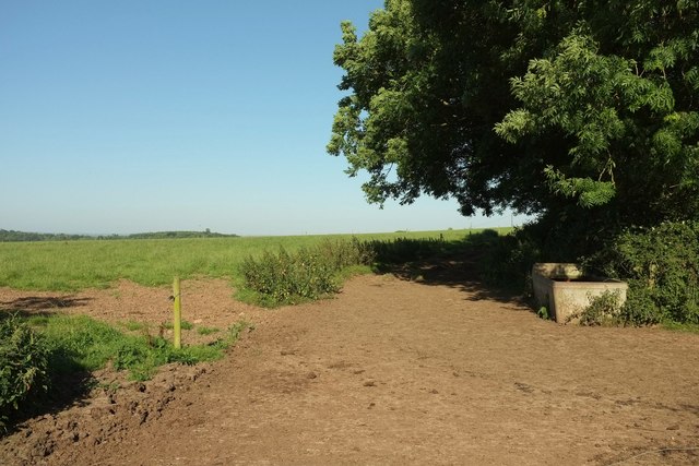
Edge of field south of Tregenna
From the same spot as SW8742 : Towards Parson's Hill Wood, looking to the right, with a drinking trough.
 Map © Crown Copyright")
TIP: Click the map for more Large scale mapping
- Grid Square
- SW8742, 10 images (more nearby 🔍)
- Photographer
- Derek Harper (more nearby)
- Date Taken
- Tuesday, 19 July, 2016 (more nearby)
- Submitted
- Wednesday, 7 December, 2016
- Subject Location
-
OSGB36:
 SW 8783 4289 [10m precision]
WGS84: 50:14.8691N 4:58.6395W - Camera Location
-
OSGB36: SW 8785 4289
- View Direction
- WEST (about 270 degrees)