2016
NN5381 : Allt a' Mheallain Odhair and Geal Charn
taken 7 years ago, near to Allt a' Mheallain Odhair [water Feature], Highland, Great Britain
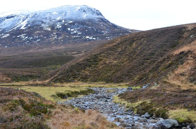
Allt a' Mheallain Odhair and Geal Charn
The steep end of Sron Garbh on Geal Charn, one of the Munros in Ardverikie Forest.
 Map © Crown Copyright")
TIP: Click the map for more Large scale mapping
- Grid Square
- NN5381, 3 images (more nearby 🔍)
- Photographer
- Jim Barton (more nearby)
- Date Taken
- Saturday, 3 December, 2016 (more nearby)
- Submitted
- Wednesday, 7 December, 2016
- Subject Location
-
OSGB36:
 NN 5378 8145 [10m precision]
WGS84: 56:54.0755N 4:24.1487W - Camera Location
-
OSGB36: NN 5388 8146
- View Direction
- WEST (about 270 degrees)