2016
SX9050 : Path near Brownstone
taken 7 years ago, near to Kingswear, Devon, England
This is 1 of 2 images, with title Path near Brownstone in this square
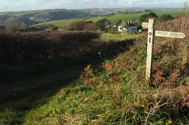
Path near Brownstone
With Higher Brownstone to the left of the signpost, and glimpses of Dartmouth way ahead.
 Map © Crown Copyright")
TIP: Click the map for more Large scale mapping
- Grid Square
- SX9050, 363 images (more nearby 🔍)
- Photographer
- Derek Harper (more nearby)
- Date Taken
- Sunday, 11 December, 2016 (more nearby)
- Submitted
- Tuesday, 20 December, 2016
- Subject Location
-
OSGB36:
 SX 9031 5061 [10m precision]
WGS84: 50:20.7097N 3:32.5773W - Camera Location
-
OSGB36: SX 9032 5060
- View Direction
- WEST (about 270 degrees)