2016
TR1457 : Derelict buildings
taken 7 years ago, near to Canterbury, Kent, England
This is 1 of 5 images, with title starting with Derelict in this square
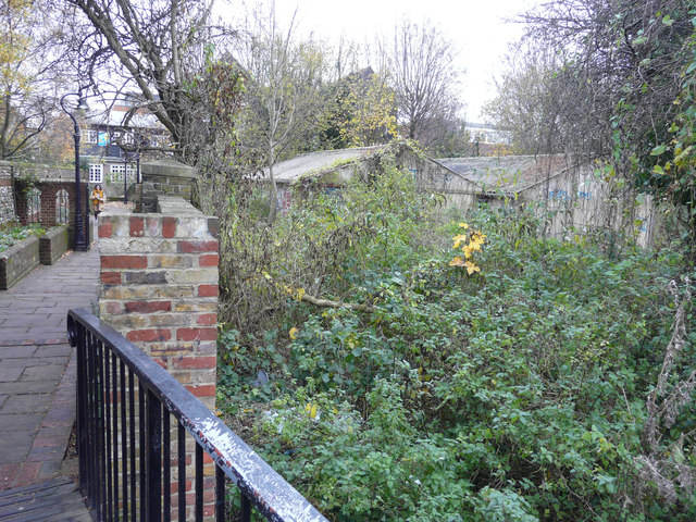
Derelict buildings
Seen from a bridge over the Great Stour, they lie beside a path called Franciscan Way. This runs through Greyfriars Gardens between St Peters Grove and Stour Street.
 Map © Crown Copyright")
TIP: Click the map for more Large scale mapping
- Grid Square
- TR1457, 1817 images (more nearby 🔍)
- Photographer
- John Baker (more nearby)
- Date Taken
- Wednesday, 23 November, 2016 (more nearby)
- Submitted
- Tuesday, 20 December, 2016
- Subject Location
-
OSGB36:
 TR 1467 5777 [10m precision]
WGS84: 51:16.7167N 1:4.5970E - Camera Location
-
OSGB36: TR 1466 5779
- View Direction
- South-southeast (about 157 degrees)