2016
TQ5236 : B2110, B2188 junction
taken 8 years ago, near to Groombridge, East Sussex, England
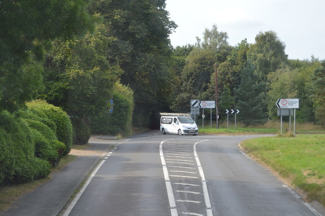
B2110, B2188 junction
B2110 Road :: TQ5136
The B2110 runs 25 miles from Langton Green TQ5338 : Crockers Hatch Corner, west of Tunbridge Wells, to Lower Beeding. It skirts the northern edge of the Ashdown Forest. It runs through the villages of Groombridge, Hartfield, Withyham and Coleman's Hatch, then Hand Cross, Turners Hill and East Grinstead.
Link
B2188 Road
The B2188 runs approximately 10 miles from Penshurst TQ5243 : B2188 / B2176 junction, Penshurst to Camp Hill TQ4730 : Road junction at Kings Standing in The Ashdown Forest, via Groombridge. The road is in two sections, Camp Hill TQ4730 : Road junction at Kings Standing to Groombridge TQ5236 : B2188, B2110 junction and The A264 near Langton Green to Penshurst TQ5243 : B2188 / B2176 junction, Penshurst.
 Map © Crown Copyright")
TIP: Click the map for more Large scale mapping
- Grid Square
- TQ5236, 163 images (more nearby 🔍)
- Photographer
- N Chadwick (more nearby)
- Date Taken
- Wednesday, 31 August, 2016 (more nearby)
- Submitted
- Wednesday, 21 December, 2016
- Subject Location
-
OSGB36:
 TQ 5255 3688 [10m precision]
WGS84: 51:6.6550N 0:10.6732E - Camera Location
-
OSGB36: TQ 5256 3690
- View Direction
- South-southwest (about 202 degrees)