2016
TF5404 : Middle Level Main Drain north of Morton's Bridge
taken 8 years ago, 3 km from Outwell, Norfolk, England
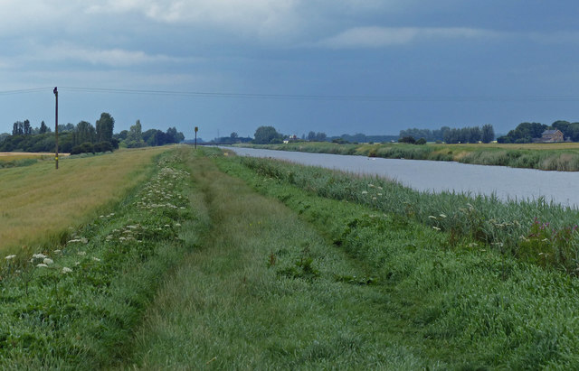
Middle Level Main Drain north of Morton's Bridge
This drain was an extension of the Sixteen Foot Drain, it was completed in 1848.
 Map © Crown Copyright")
TIP: Click the map for more Large scale mapping
- Grid Square
- TF5404, 20 images (more nearby 🔍)
- Photographer
- Mat Fascione (more nearby)
- Date Taken
- Sunday, 10 July, 2016 (more nearby)
- Submitted
- Monday, 26 December, 2016
- Subject Location
-
OSGB36:
 TF 540 047 [100m precision]
WGS84: 52:37.1205N 0:16.4301E - Camera Location
-
OSGB36: TF 540 047
- View Direction
- Northeast (about 45 degrees)