2016
NU1242 : Crooked Loaning, Holy Island
taken 7 years ago, near to Holy Island, Northumberland, England
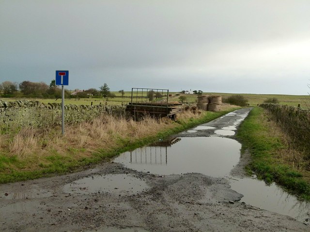
Crooked Loaning, Holy Island
Loaning is a northern word for a lane. It is so named because it has two bends, in contrast to Straight Loaning Link which has none.
Holy Island (Lindisfarne)
Holy Island is a small Island off the coast of Northumberland. It is cut off from the mainland by tides on a daily basis. The island has a long and rich history stretching back to Anglo-Saxon times. The island possesses both a priory and castle. Website: Link

 Map © Crown Copyright")
TIP: Click the map for more Large scale mapping
- Grid Square
- NU1242, 261 images (more nearby 🔍)
- Photographer
- Alan Murray-Rust (more nearby)
- Date Taken
- Saturday, 24 December, 2016 (more nearby)
- Submitted
- Thursday, 29 December, 2016
- Subject Location
-
OSGB36:
 NU 1291 4223 [10m precision]
WGS84: 55:40.4040N 1:47.7780W - Camera Location
-
OSGB36: NU 1282 4224
- View Direction
- EAST (about 90 degrees)