2016
SP3576 : Sebastian Close, Willenhall, southeast Coventry
taken 8 years ago, near to Willenhall, Coventry, England
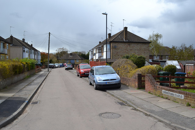
Sebastian Close, Willenhall, southeast Coventry
A later walk made it clear that this is made-up, level ground. Hard-to-find footpaths off this close and Sedgemoor Road drop sharply down to a grassy open space in the floodplain of the River Sowe.
Sowe Valley, Coventry
The River Sowe rises in Bedworth, flowing south towards Coventry; it winds through the city's eastern suburbs before joining the Warwickshire Avon near Stoneleigh. The Sowe Valley Footpath follows the river for over eight miles, mostly through naturalistic green spaces. Link
 Map © Crown Copyright")
TIP: Click the map for more Large scale mapping
- Grid Square
- SP3576, 97 images (more nearby 🔍)
- Photographer
- Robin Stott (more nearby)
- Date Taken
- Saturday, 30 April, 2016 (more nearby)
- Submitted
- Monday, 2 January, 2017
- Subject Location
-
OSGB36:
 SP 3564 7613 [10m precision]
WGS84: 52:22.9230N 1:28.6691W - Camera Location
-
OSGB36: SP 3569 7612
- View Direction
- WEST (about 270 degrees)