2016
NU2328 : Beadnell Point
taken 7 years ago, near to Beadnell, Northumberland, England
This is 1 of 2 images, with title Beadnell Point in this square
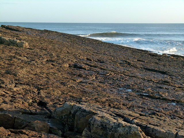
Beadnell Point
Beadnell Point is the southernmost emergence of a series of bands of hard limestone and sandstone of the Alston Formation. The dip in the strata is very evident at this location.
 Map © Crown Copyright")
TIP: Click the map for more Large scale mapping
- Grid Square
- NU2328, 355 images (more nearby 🔍)
- Photographer
- Alan Murray-Rust (more nearby)
- Date Taken
- Tuesday, 27 December, 2016 (more nearby)
- Submitted
- Tuesday, 3 January, 2017
- Subject Location
-
OSGB36:
 NU 2399 2869 [10m precision]
WGS84: 55:33.0794N 1:37.2785W - Camera Location
-
OSGB36: NU 2398 2868
- View Direction
- East-northeast (about 67 degrees)