2007
NT8913 : Roots
taken 17 years ago, 3 km from Barrowburn, Northumberland, England
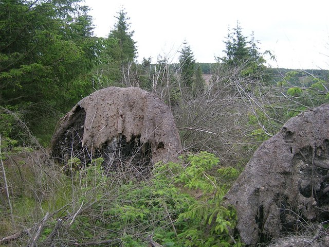
Roots
Wild blown trees now with roots exposed
 Map © Crown Copyright")
TIP: Click the map for more Large scale mapping
- Grid Square
- NT8913, 7 images (more nearby 🔍)
- Photographer
- Newbiggin Hall Scouts (more nearby)
- Date Taken
- Saturday, 11 August, 2007 (more nearby)
- Submitted
- Tuesday, 14 August, 2007
- Subject Location
-
OSGB36:
 NT 890 135 [100m precision]
WGS84: 55:24.9608N 2:10.4617W - Camera Location
-
OSGB36: NT 890 136
- View Direction
- Southeast (about 135 degrees)