2017
SE2056 : Boundary fence of RAF Menwith Hill
taken 7 years ago, near to Staupes, North Yorkshire, England
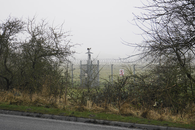
Boundary fence of RAF Menwith Hill
If it were not a foggy day, you would see much further onto the site than this. Meanwhile CCTV is keeping the boundary observed.
 Map © Crown Copyright")
TIP: Click the map for more Large scale mapping
- Grid Square
- SE2056, 27 images (more nearby 🔍)
- Photographer
- Bill Boaden (more nearby)
- Date Taken
- Friday, 27 January, 2017 (more nearby)
- Submitted
- Saturday, 28 January, 2017
- Subject Location
-
OSGB36:
 SE 2083 5610 [10m precision]
WGS84: 54:0.0309N 1:41.0232W - Camera Location
-
OSGB36: SE 2088 5607
- View Direction
- West-northwest (about 292 degrees)