2017
SJ8044 : M6 west of Keele Services
taken 7 years ago, near to Keele, Staffordshire, England
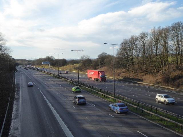
M6 west of Keele Services
Viewed from the overbridge on Three Mile Lane, which runs north-south between the villages of Keele and Whitmore.
M6 Motorway
The M6 motorway runs from junction 19 of the M1 at the Catthorpe Interchange, near Rugby to the Gretna junction (J45). Here it becomes the A74(M) and M74 which continues to Glasgow.
The M6 is the longest motorway in the United Kingdom (232 miles) and one of the busiest. It incorporates the first length of motorway opened in the UK (the Preston bypass in 1958) and forms part of a motorway "Backbone of Britain", running north-south between London and Glasgow via the industrial north of England. It is also part of the east-west route between the Midlands and the east coast ports.
 Map © Crown Copyright")
TIP: Click the map for more Large scale mapping
- Grid Square
- SJ8044, 85 images (more nearby 🔍)
- Photographer
- Jonathan Hutchins (more nearby)
- Date Taken
- Saturday, 4 February, 2017 (more nearby)
- Submitted
- Wednesday, 8 February, 2017
- Subject Location
-
OSGB36:
 SJ 8027 4409 [10m precision]
WGS84: 52:59.6263N 2:17.7235W - Camera Location
-
OSGB36: SJ 80460 44052
- View Direction
- West-northwest (about 292 degrees)