2017
TL3669 : Intersection of the Cambridge guided busway and Station Road
taken 7 years ago, near to Swavesey, Cambridgeshire, England
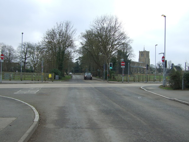
Intersection of the Cambridge guided busway and Station Road
Site of a former level crossing on the railway from Cambridge to St Ives.
Cambridgeshire Guided Busway :: TL4555
Funding for the 'Guided Busway' was first applied for in July 2002. Cambridgeshire was awarded £92.5 million. By 2009 the estimated cost was put at £116.27million, in 2010 this estimate had risen to £161.0 million. By the end of 2010 the overall cost of this much delayed project was put at £180+ million.
Early photos taken during the construction phase were first taken in December 2007, it opened on 7 August 2011. See Linkfor the official take on the route and services.
 Map © Crown Copyright")
TIP: Click the map for more Large scale mapping
- Grid Square
- TL3669, 213 images (more nearby 🔍)
- Photographer
- JThomas (more nearby)
- Date Taken
- Saturday, 18 February, 2017 (more nearby)
- Submitted
- Monday, 20 February, 2017
- Subject Location
-
OSGB36:
 TL 3640 6946 [10m precision]
WGS84: 52:18.3794N 0:0.0493W - Camera Location
-
OSGB36: TL 36415 69485
- View Direction
- South-southwest (about 202 degrees)