2017
SP2812 : Benchmark on 'The Forge'
taken 7 years ago, near to Swinbrook, Oxfordshire, England
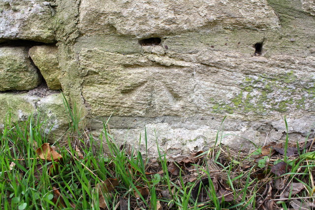
Benchmark on 'The Forge'
Ordnance Survey cut mark benchmark described on the Bench Mark Database at Link
 Map © Crown Copyright")
TIP: Click the map for more Large scale mapping
- Grid Square
- SP2812, 55 images (more nearby 🔍)
- Photographer
- Roger Templeman (more nearby)
- Date Taken
- Saturday, 18 February, 2017 (more nearby)
- Submitted
- Tuesday, 21 February, 2017
- Subject Location
-
OSGB36:
 SP 2809 1250 [10m precision]
WGS84: 51:48.6260N 1:35.6376W - Camera Location
-
OSGB36: SP 2809 1250
- View Direction
- WEST (about 270 degrees)