2017
SJ7055 : Victorian row of four houses, Flag Lane, Crewe
taken 7 years ago, near to Crewe, Cheshire East, England
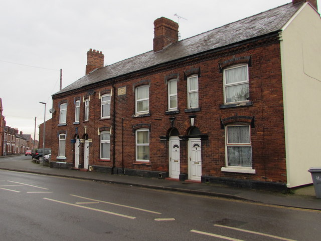
Victorian row of four houses, Flag Lane, Crewe
The stone tablet on the wall between first floor windows shows HEATHS BUILDINGS 1879.
 Map © Crown Copyright")
TIP: Click the map for more Large scale mapping
- Grid Square
- SJ7055, 376 images (more nearby 🔍)
- Photographer
- Jaggery (more nearby)
- Date Taken
- Wednesday, 15 February, 2017 (more nearby)
- Submitted
- Thursday, 23 February, 2017
- Subject Location
-
OSGB36:
 SJ 7008 5581 [10m precision]
WGS84: 53:5.9187N 2:26.8976W - Camera Location
-
OSGB36: SJ 7011 5581
- View Direction
- WEST (about 270 degrees)