2017
SE0327 : Sowerby Bridge FP2 (7) at Dry Carr Lane
taken 7 years ago, near to Midgley, Calderdale, England
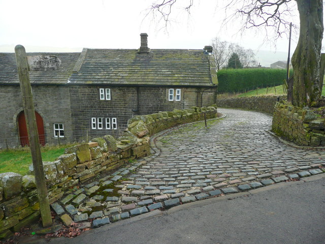
Sowerby Bridge FP2 (7) at Dry Carr Lane
This footpath is on the 1850 six-inch map, as is the farm.
 Map © Crown Copyright")
TIP: Click the map for more Large scale mapping
- Grid Square
- SE0327, 70 images (more nearby 🔍)
- Photographer
- Humphrey Bolton (more nearby)
- Date Taken
- Sunday, 19 February, 2017 (more nearby)
- Submitted
- Thursday, 23 February, 2017
- Subject Location
-
OSGB36:
 SE 0332 2772 [10m precision]
WGS84: 53:44.7507N 1:57.0683W - Camera Location
-
OSGB36: SE 0332 2772
- View Direction
- East-southeast (about 112 degrees)