2017
SP2964 : Draining Myton Fields
taken 7 years ago, near to Warwick, Warwickshire, England
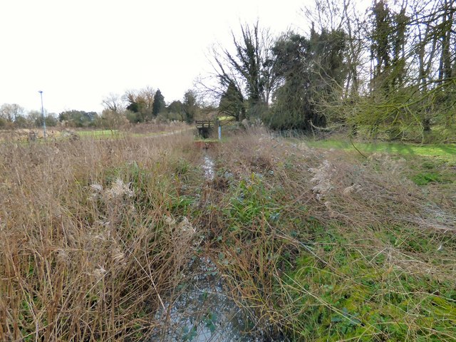
Draining Myton Fields
I'm not sure if this is a small stream or just a drainage channel but it joins the River Avon behind us.
River Avon (Warwickshire)
The River Avon is 85 miles long and flows through the Midlands. It rises near Naseby, Northamptonshire, before flowing through Rugby, Warwick, Stratford-upon-Avon, Welford-on-Avon, Bidford-on-Avon, Evesham and Pershore, before it joins the River Severn at Tewkesbury. Also known as the Warwickshire Avon or Shakespeare's Avon, the navigable section has been divided since 1719 into the Lower Avon, below Evesham, and the Upper Avon, from Evesham to above Stratford-upon-Avon.
Link
 Map © Crown Copyright")
TIP: Click the map for more Large scale mapping
- Grid Square
- SP2964, 297 images (more nearby 🔍)
- Photographer
- Gerald England (more nearby)
- Date Taken
- Saturday, 4 March, 2017 (more nearby)
- Submitted
- Friday, 10 March, 2017
- Subject Location
-
OSGB36:
 SP 2932 6489 [10m precision]
WGS84: 52:16.8826N 1:34.2985W - Camera Location
-
OSGB36: SP 2928 6490
- View Direction
- EAST (about 90 degrees)