SJ8094 : Bench in the Larry Sullivan Gardens
taken 8 years ago, near to Chorlton-Cum-Hardy, Manchester, England
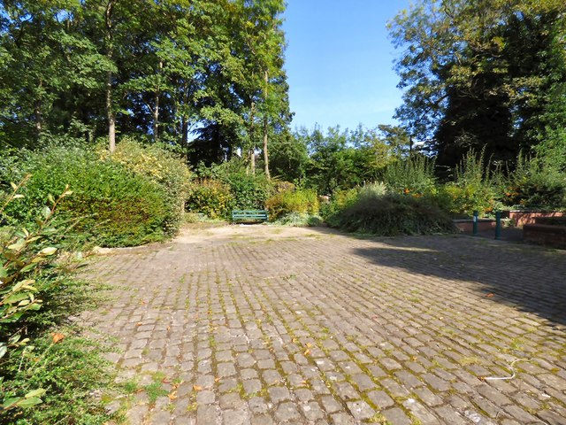
Longford Park was laid out in 1857 by John Rylands in the style of Chatsworth House. He lived at Longford Hall with his wife Enriqueta who founded the John Rylands Library in 1899 following her husband's death in 1888. She died in 1908 and in 1911 Longford Estate was sold to Stretford Urban District Council. In 1977 a Royal Garden Party was held in the park attended by Queen Elizabeth II and the Duke of Edinburgh escorted by the Mayor of Trafford and Sir William Downward. Longford Hall was demolished in 1995 but the facade of the old hall still stands in the centre of the park.
Covering 54 acres it is the largest municipal park in Trafford. Facilities include Longford Athletics Stadium, cafe, tennis courts, basketball courts, pets corner, bowling greens, zip wire, play areas, wildlife garden and toilets.
More information on the website of Friends of Longford Park: Link
 Map © Crown Copyright")
- Grid Square
- SJ8094, 78 images (more nearby 🔍)
- Photographer
- Gerald England (more nearby)
- Date Taken
- Saturday, 17 September, 2016 (more nearby)
- Submitted
- Saturday, 18 March, 2017
- Subject Location
-
OSGB36:
 SJ 8073 9449 [10m precision]
WGS84: 53:26.8091N 2:17.4961W - Camera Location
-
OSGB36: SJ 8073 9449
- View Direction
- North-northeast (about 22 degrees)