2017
SP7674 : Faxton Grange near Lamport
taken 7 years ago, near to Lamport, West Northamptonshire, England
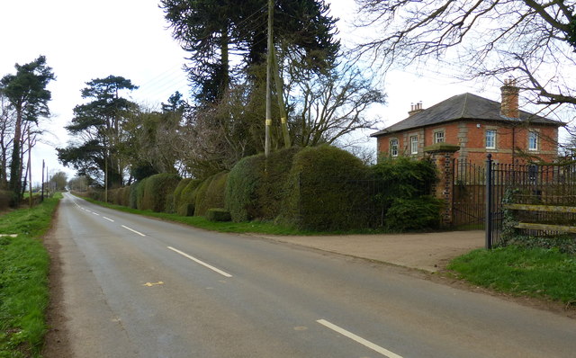
Faxton Grange near Lamport
 Map © Crown Copyright")
TIP: Click the map for more Large scale mapping
- Grid Square
- SP7674, 17 images (more nearby 🔍)
- Photographer
- Mat Fascione (more nearby)
- Date Taken
- Sunday, 19 March, 2017 (more nearby)
- Submitted
- Wednesday, 22 March, 2017
- Subject Location
-
OSGB36:
 SP 767 742 [100m precision]
WGS84: 52:21.6512N 0:52.4624W - Camera Location
-
OSGB36: SP 767 742
- View Direction
- Northwest (about 315 degrees)