2017
J4078 : "C" road, Holywood (March 2017)
taken 7 years ago, near to Holywood, Co Down, Northern Ireland
"C" road, Holywood (March 2017)
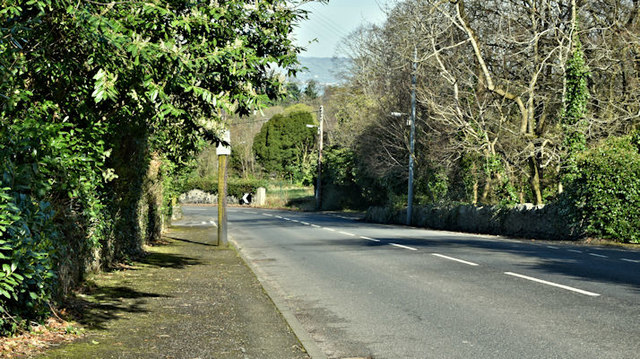
Not generally known but the Church Road, Holywood J4078 : The Church Road, Holywood (3) and J4177 : "Steep hill" sign, Ballykeel, Holywood is classified as a C road. This view is inward at Glenlyon.
The following is a quotation from the official Traffic Watch website High Street, Holywood - Closures 7pm to 6am - 20 to 24 March [2017] High Street, Holywood (B198) will be closed to through traffic, from its junction with C303 Church Road to U8106 Downshire Road junction, to enable resurfacing works from 7pm each evening to 6am the following morning on Monday 20th, Tuesday 21st, Wednesday 22nd and Thursday 23rd March 2017 (works being completed by 6am Friday 24th March). See also J4575 : The Holywood Road, Newtownards.
The following is a quotation from the official Traffic Watch website High Street, Holywood - Closures 7pm to 6am - 20 to 24 March [2017] High Street, Holywood (B198) will be closed to through traffic, from its junction with C303 Church Road to U8106 Downshire Road junction, to enable resurfacing works from 7pm each evening to 6am the following morning on Monday 20th, Tuesday 21st, Wednesday 22nd and Thursday 23rd March 2017 (works being completed by 6am Friday 24th March). See also J4575 : The Holywood Road, Newtownards.
Loading map... (JavaScript required)
- Grid Square
- J4078, 113 images (more nearby 🔍)
- Photographer
- Albert Bridge (more nearby)
- Date Taken
- Friday, 24 March, 2017 (more nearby)
- Submitted
- Friday, 24 March, 2017
- Subject Location
-
Irish:
 J 404 788 [100m precision]
WGS84: 54:38.2948N 5:49.4990W - Camera Location
-
Irish: J 405 787
- View Direction
- North-northwest (about 337 degrees)