2017
SK2305 : Waterlogged cereal field, south-west of Decoy Barn
taken 7 years ago, near to Alvecote, Warwickshire, England
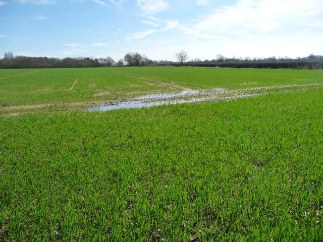
Waterlogged cereal field, south-west of Decoy Barn
About 65 metres above sea level, on land drained by the River Anker.
 Map © Crown Copyright")
TIP: Click the map for more Large scale mapping
- Grid Square
- SK2305, 22 images (more nearby 🔍)
- Photographer
- Christine Johnstone (more nearby)
- Date Taken
- Saturday, 25 March, 2017 (more nearby)
- Submitted
- Sunday, 26 March, 2017
- Subject Location
-
OSGB36:
 SK 2372 0588 [10m precision]
WGS84: 52:39.0083N 1:39.0495W - Camera Location
-
OSGB36: SK 2370 0589
- View Direction
- EAST (about 90 degrees)