2017
SO4614 : Muddy field entrance near Hendre, Monmouthshire
taken 7 years ago, near to Llangattock-Vibon-Avel, Monmouthshire/Sir Fynwy, Wales
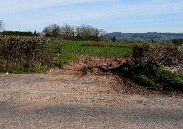
Muddy field entrance near Hendre, Monmouthshire
On the north side of the B4233, a rural B-road in Monmouthshire extending for 23km (c14 miles) from Monmouth to Abergavenny.
 Map © Crown Copyright")
TIP: Click the map for more Large scale mapping
- Grid Square
- SO4614, 30 images (more nearby 🔍)
- Photographer
- Jaggery (more nearby)
- Date Taken
- Sunday, 26 March, 2017 (more nearby)
- Submitted
- Sunday, 26 March, 2017
- Subject Location
-
OSGB36:
 SO 4657 1455 [10m precision]
WGS84: 51:49.6200N 2:46.6015W - Camera Location
-
OSGB36: SO 4656 1453
- View Direction
- North-northeast (about 22 degrees)